NOAA's satellites provide highly detailed information that helps us learn about how Earth works.
NOAA satellites continuously scan the surface of the Earth, collecting data about the atmosphere, land, and oceans. The data they collect is transmitted to NOAA’s Satellite and Information Service, where a team of scientists and supercomputers process it using complex algorithms. But how can we make sense of all this information?
One way is by creating a visual representation of it, such as a chart, graph, or in our case, maps. When environmental information is displayed as a map, or superimposed over one, it helps provide an accessible way to understand it as well as recognize trends and patterns. This can become essential when using large amounts of data to make complex analyses and data-driven decisions. Plus, it’s a form of art that grabs our attention and keeps our interest.
These examples of “Data Maps” show variables such as light absorption, energy radiation, and surface temperatures, which can be used to measure the state of our planet.April 13, 2023NESDIS Announces First-of-its-Kind Enterprise Cloud AwardOn Jan. 28, 2020, the GOES West satellite traced the path of an atmospheric river flowing across…On the eastern coast of North America on Dec. 18, 2019, the GOES-16 satellite showed a long cold…On Dec.
Norge Siste Nytt, Norge Overskrifter
Similar News:Du kan også lese nyheter som ligner på denne som vi har samlet inn fra andre nyhetskilder.
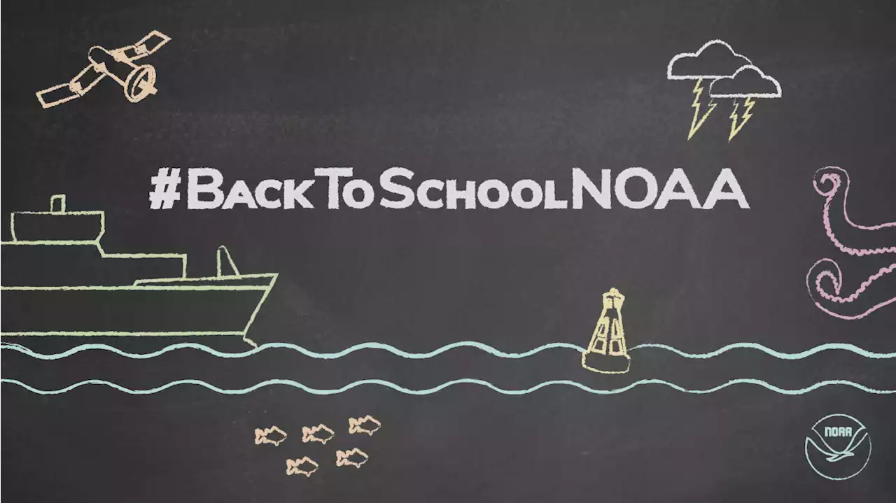 Go back to school with NOAABack to school NOAA graphic. (Kaleigh Ballantine/NOAA Education)Download ImageAre you a teacher or educator looking for resources for the new school year ahead? Our resource database, NOAA Sea to Sky, can help you quickly find lesson plans, videos, data resources, activities, and more created by NOAA and our
Les mer »
 Emergency information for NOAA employeesNOAA Emergency Notification System The NOAA Emergency Notification System (ENS) tool allows NOAA to quickly broadcast emergency information to and take accountability of affected employees via phone, email, or text. ENS is NOAA's primary means of accountability on an organizational level. IN the event of a local, regio
Les mer »
Visible & Infrared ImageryNOAA’s satellites, radars, buoys, stations, and gauges monitor the variability of the Earth’s climate and contribute to long-term data records. The…
Les mer »
NOAA Tribal Resources & Updates*NEW* Transformational Habitat Restoration and Coastal Resilience Grants 08/15/23 Up to $240 million in funding is available for transformational projects that restore coastal habitat and strengthen community resilience. This funding has been made available through the Biden-Harris Administration’s Bipartisan Infrast
Les mer »
 NOAA hurricane season forecast heats up in latest update with more storms expectedThe National Hurricane Center is already monitoring a few potential tropical systems as we move closer to the traditional peak of storm activity in the Atlantic.
Les mer »