
Science, Space and Technology News 2024
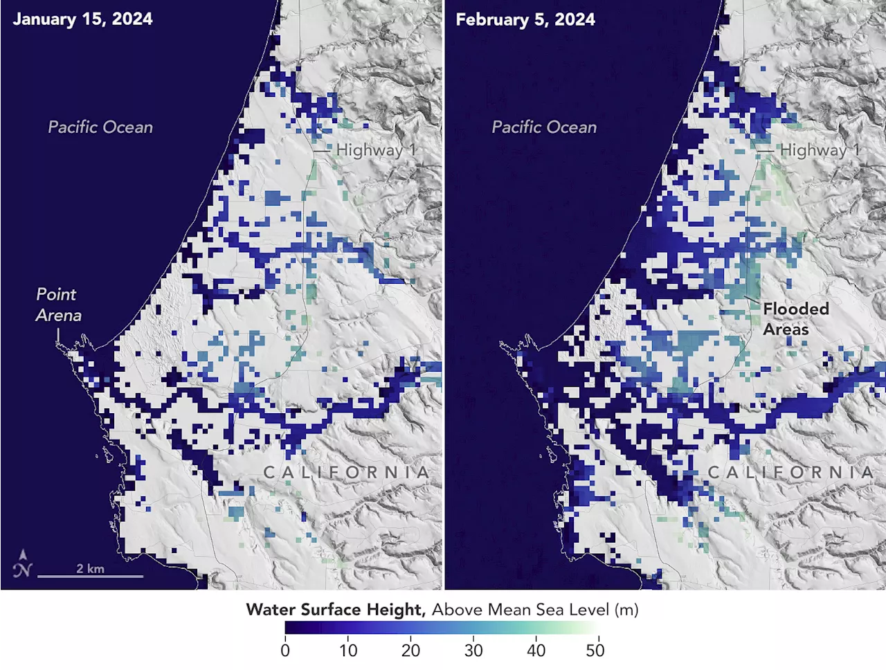
This image shows SWOT satellite data for water surface height in part of Mendocino County, Northern California, on January 15, before several atmospheric rivers arrived, and on Feb. 4, after the first storms. Light blue and green indicate the highest water levels relative to mean sea level. The Surface Water and Ocean Topography satellite provides a new view of water on land, at the coast, and in the ocean.
Designed to make the first-ever global survey of Earth’s surface water, the Surface Water and Ocean Topography, or SWOT, satellite will collect detailed measurements of how water bodies on Earth change over time. Credit: NASA/JPL-Caltechon Earth’s surface, developing one of the most detailed, comprehensive views yet of the planet’s ocean and freshwater lakes and rivers.
NASA Earth Observatory image by Lauren Dauphin, using SWOT data provided by Benjamin Hamlington and courtesy of the SWOT science team.SciTechDaily: Home of the best science and technology news since 1998. Keep up with the latest scitech news via email or social media.
Norge Siste Nytt, Norge Overskrifter
Similar News:Du kan også lese nyheter som ligner på denne som vi har samlet inn fra andre nyhetskilder.
 SWOT Satellite Catches Coastal Flooding During California StormsOperated by NASA and the French space agency, the Surface Water and Ocean Topography mission provides a new view of water on land, at the coast, and in the
Les mer »
 Exclusive: Israeli forces fired on food convoy in Gaza, UN documents and satellite analysis revealsIsraeli forces fired on a United Nations convoy carrying vital food supplies in central Gaza on February 5, before ultimately blocking the trucks from progressing to the northern part of the territory, where Palestinians are on the verge of famine, according to documents shared exclusively by the UN and CNN’s own analysis.
Les mer »
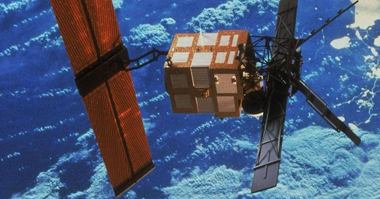
 A massive, dead satellite will barrel back down to Earth this monthA massive, dead satellite will fall back to Earth this month. Here's what to expect from the ERS-2's re-entry.
Les mer »
 Massive European Satellite to Plummet Back Down to Earth UncontrollablyScience and Technology News and Videos
Les mer »
 Uni leads $2.3M project for in-orbit satellite maintenanceInteresting Engineering is a cutting edge, leading community designed for all lovers of engineering, technology and science.
Les mer »
 Russia has obtained a ‘troubling' emerging anti-satellite weapon, the White House saysThe White House confirmed its intelligence after a vague warning Wednesday from the Republican head of the House Intelligence Committee.
Les mer »